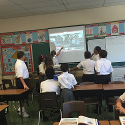
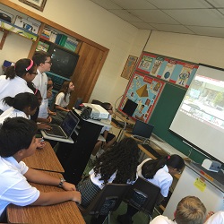
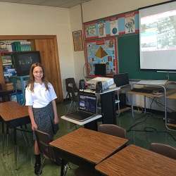
The sixth grade class gained a better understanding of geography terms using Google Maps. Analyzing satellite photographs of different places around the world gave each student the opportunity to see the meaning or aerial photographs and observe mapping terms. Sixth grade student selected a location of their choice, gathered information and compared different photographs. They enjoyed sharing their findings with the whole class.
 |
 |
 |